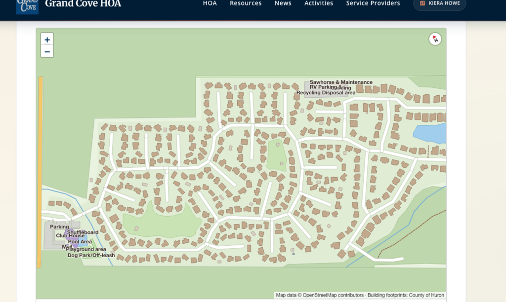
I created a plugin for WP that shows a map. Simple right? Well, its more that it shows a map for the space that you want, loads up with data from wherever you want, including your input and orients it better then due-north. Its made for mapping campuses – think trailer parks, business areas, or other places that are sizeable and have details that would be best put on a map.
I built it for my Grand Cove Website, but, its generic enough that changes to the dataset could make it work anywhere. It will show details about the address on hover/click. If you’re a resident, and logged in, it will show the other residents’ info (assuming that they have that permitted on their settings).
Thinking I might add this to the growing list of WebSamurai features that will allow framework agnostic web resources to be added to other sites.
My data sets came from Open Street Maps for the map and Huron County’s open data for the building shapes. I added a few features that neither set had (like the dog park and pickleball courts) and its a pretty neat map.
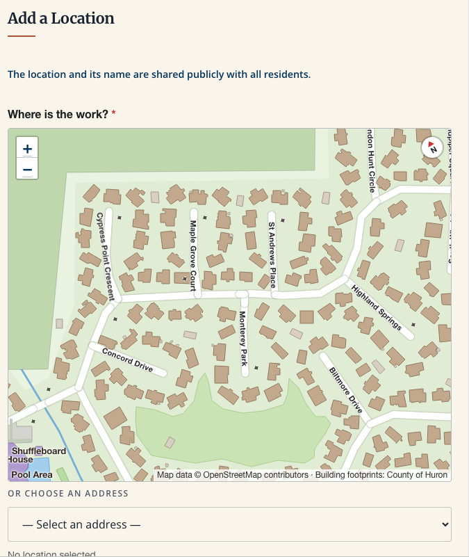
Its integrated into the back-end so people can select “Where” something is by finding it on the map and clicking on it.